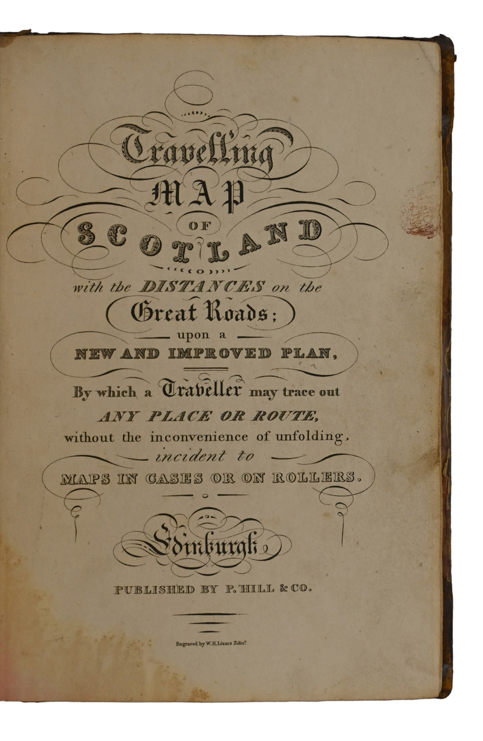
Travelling Map of Scotland With the Distances on the Great Roads; upon a New and Improved Plan, by which a Traveller may trace out Any Place or Route, without the inconvenience of unfolding, incident to Maps in Cases or on Rollers.

  • Lizars, W.H., engr.
  • Edinburgh: Published by P. Hill & Co 1820

£250

Enquire
SKU: 7412 Category: Tags: ,

Description

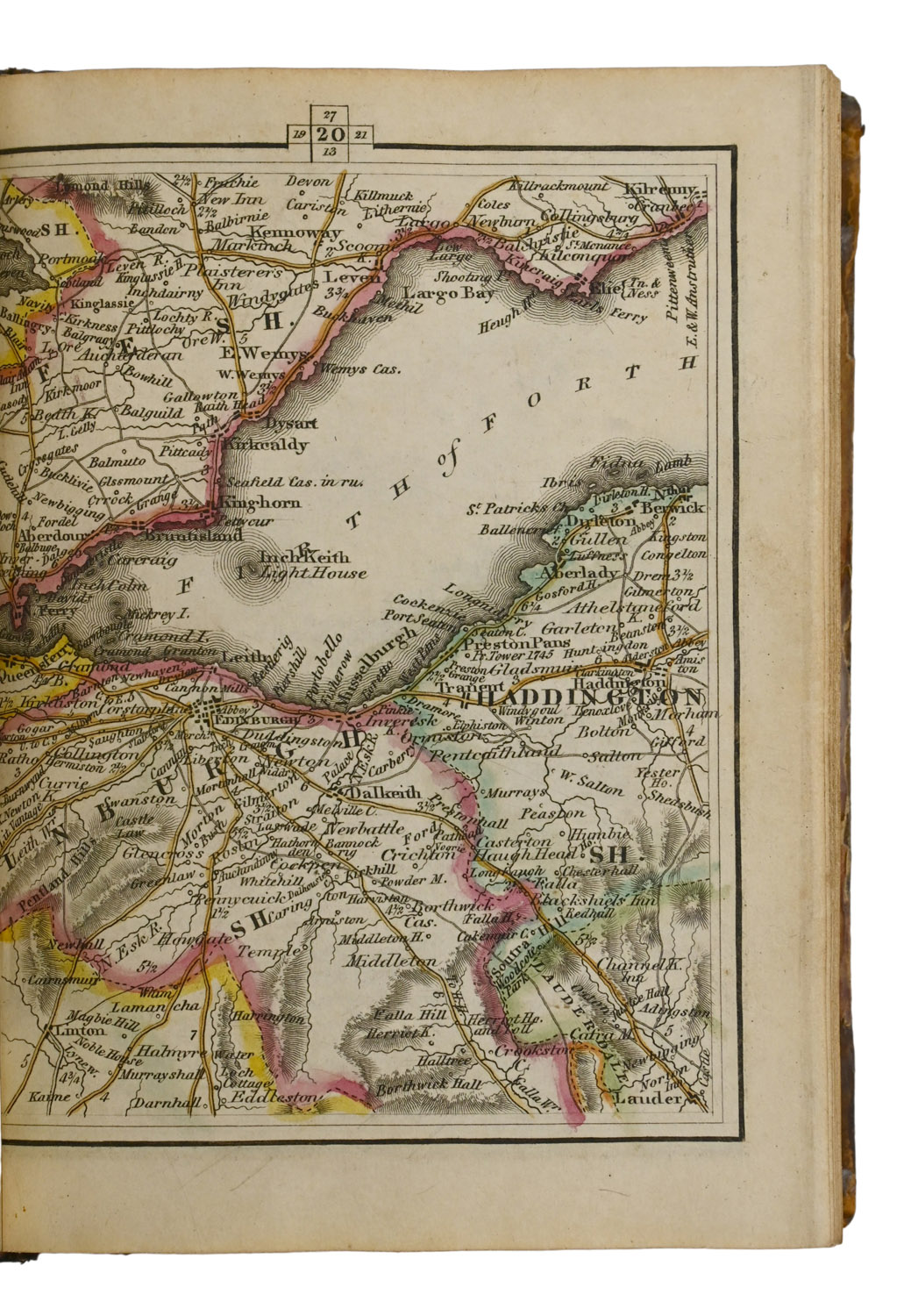
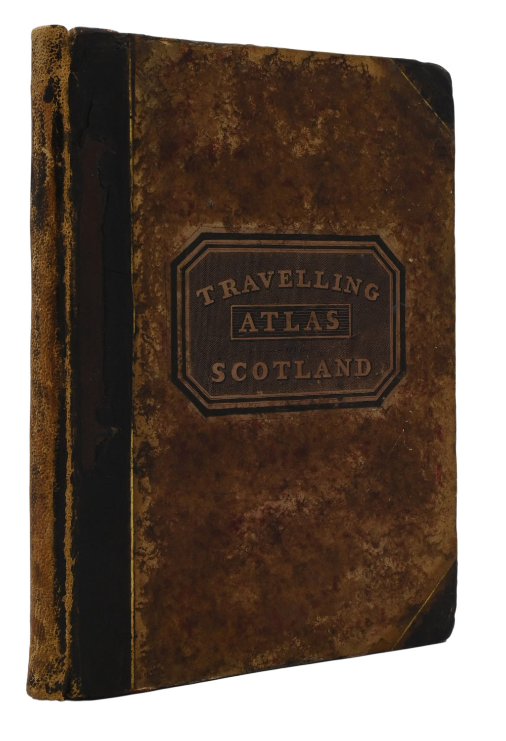
8vo, pp. [iv], 4-56 [maps], [2], 58-68, [2, ads] + engraved title-page and double-page hand-coloured map. 52 hand-coloured map plates included within pagination. Original half black calf, marbled boards, printed paper label to front board. A little dampmarking to first leaves. Sometime rebacked, hinges relined, front joint later repaired, somewhat rubbed and soiled. Ownership inscription to pastedown: ‘Misses C.J. [?] and E. Burnett’.

Notes

A scarce pocket atlas of Scotland, recorded in just 3 locations in Library Hub: NLS, BL and Durham. The maps are paginated (nearly) uniformly with the letterpress and hand-coloured in outline, with a double-page reference map of the whole country preceding them.
The publisher's ads to the rear advertise that Hill has taken on the remaining stock of Sinclair's Statistical Account of Scotland, among other things.

Location & Opening Times

3a & 4a Haddington Place, Edinburgh, EH7 4AE


Opening Hours

Open seven days a week, 11am - 5pm

On Thursdays late night opening until 8pm