
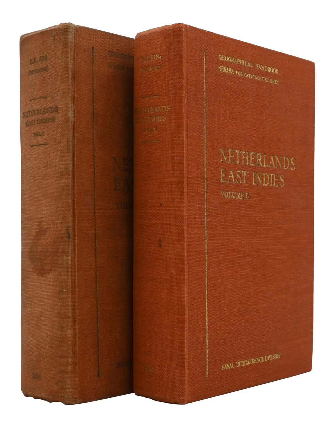
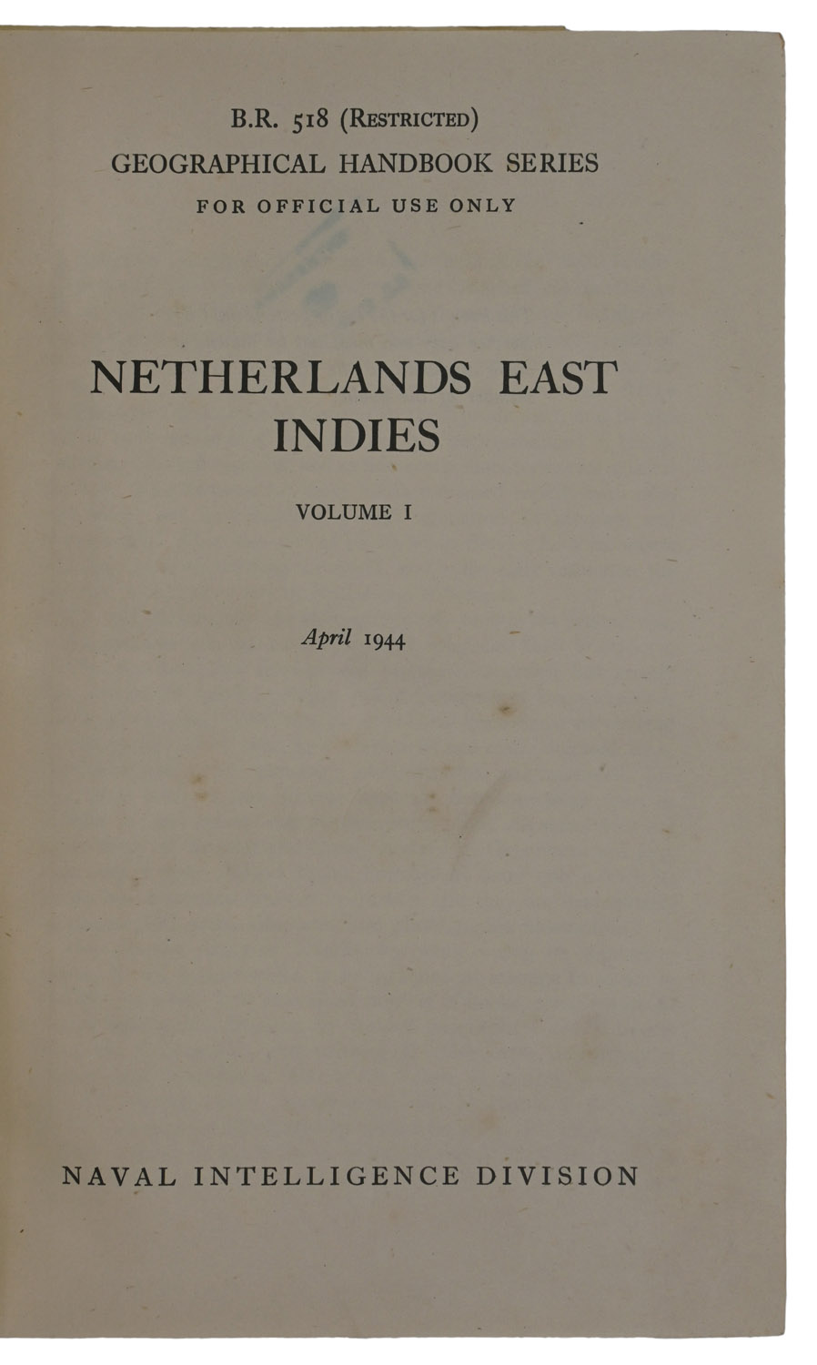
Netherlands East Indies. B.R. 518 (Restricted) Geographical Handbook Series, For Official Use Only.

  • (Military Intelligence)
  • [London]: Naval Intelligence Division 1944

£150

Enquire
SKU: 8352 Category: Tags: ,

Description

2 vols., 8vo, pp. xiii, [i], 525, [1]; xiv, 514 + 95 double-sided plates and 2 folding maps, and 3 folded colour maps to rear pockets. Original orange cloth, spines and front boards lettered in gilt. Corner torn away from flyleaf of vol. 1. Vol. 1 binding somewhat soiled and a little marked, some sunning, gilt tarnished. Cancelled library stamps and labels of Royal Air Force School of Education and Command Education Library and traces of card pocket to front endpapers of vol. 1, one further stamp internally.

Notes

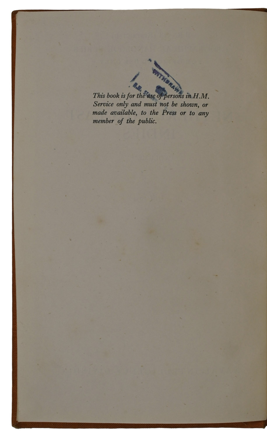
A set of two volumes on the territory mostly encompassed by present-day Indonesia, with the first volume covering geology and physical geography, and the second human geography. It was produced during the second world war by British Military Intelligence for internal use only, meaning that most copies bear traces of institutional use, as in our first volume. To the verso of the title-page is a warning that it 'must not be shown, or made available, to the Press or any member of the public'. Post-war however, some surplus stock was released for general sale, as was the case for the second volume here, which bears a printed slip pasted over the warning, which reads 'This volume was produced and printed for official purposes during the war 1939/45'.

Location & Opening Times

3a & 4a Haddington Place, Edinburgh, EH7 4AE


Opening Hours

Open seven days a week, 11am - 5pm

On Thursdays late night opening until 8pm